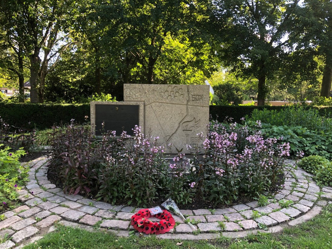
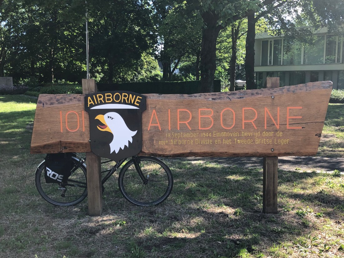
We travelled North through Eindhoven, where I had expected we would be held up passing through the city during the morning rush-hour. Instead, the route followed well-maintained cycle paths through parkland, and suburbs to the East of the city centre, and most of the commuter cycle traffic was moving briskly South, in the opposite direction, out of the City. On the northern outskirts, we saw a memorial to the American 101st Airborne, who had landed in this area on 17 September 1944.
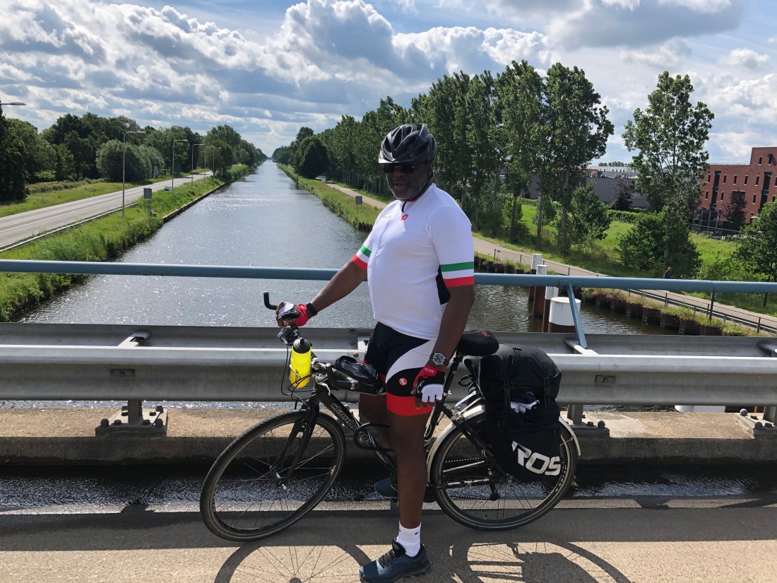
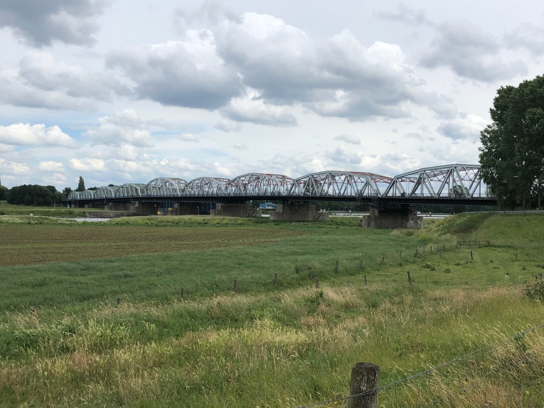
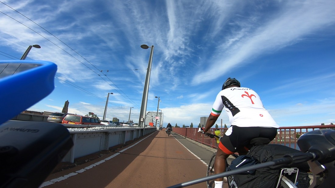
From there we crossed bridges at Son (over the Wilhelmina Canal), Veghel (The Zuid-Willems Canal), Grave (The Mass), Nijmegen (The Waal), and Arnhem (The Neder-Rijn). The Americans dubbed the long road we passed, “Hell’s Highway” and it was easy to see from the geography how difficult it would have been to send a long column of heavy armour up so far up a raised road through hostile territory, with open country, or woodland either side that was unsuitable for tanks.


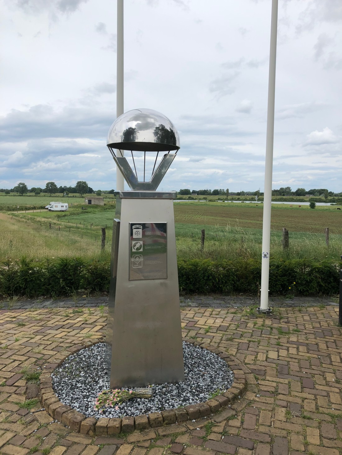

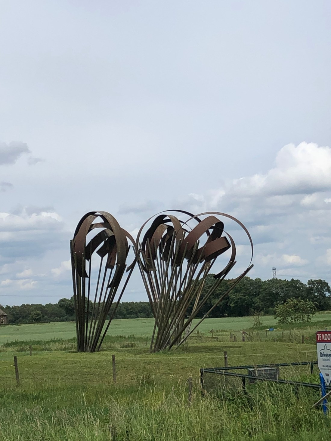


Periodically, we would pause to take in the various monuments to the campaign along the way.
Once across John Frost Bridge at Arnhem, we skirted Oosterbeek to the North, through some unexpectedly hilly terrain, and spent the night at The Bilderburg Hotel, the venue of the annual (world governmental?) conference of financiers, industrialists, politicians, and other people of influence – the entrance contains pictures of Kissinger, Rockefeller, and Prins Bernhard, founder members of the Bilderburg Group.
Today, we will be visiting the Market-Garden museum at The Hartenstein before heading towards the Dutch-German border.
618 miles (horizontal); 4823 m (vertical); 65 hrs 23 mins 1s (arse in saddle).
7 days, and 420 miles to Berlin.
